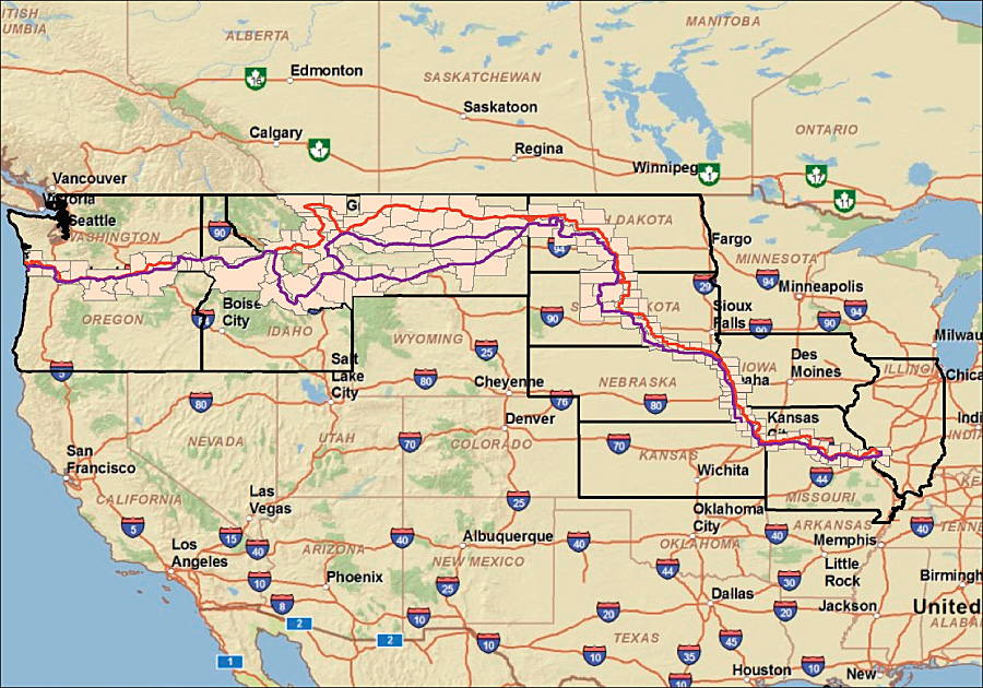
This is a Digital Line Graph (DLG). A Digital Line Graph is, as its name implies, digital line data represented cartographically. A variety of information is portrayed via DLG's...boundaries, roads, utility lines, etc. DLG's are rendered from contour lines using the USGS 7.5 minute, 15 minute, 2 arc-second, and 1:2 million scale topographic quadrangle maps. This is a DLG of the Lewis and Clark National Historic Trail.