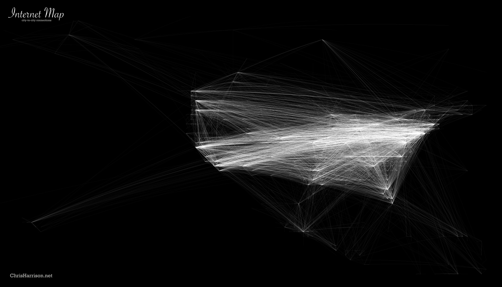
Chris Harrison is a blogger who used information collected from "The Dimes Project" to create visualizations that show how cities across the globe are interconnected via router configuration. These are a type of Internet Map, and they are interesting to view not only for the visualization technique that Harrison chose (white on black) but for the comparisons of interconnectivity across the globe.
World Connection Density

World City-to-City Connections

European City-to-City Connections

North American City-to-City Connections